

The PR-CV330 - Escarigüela Trail
The PR-CV330 - Escarigüela Trail: Our Flagship Route

Here's all the basic information and highlights you need to make the most of your experience:
Basic Trail Information
Trail Type: Loop.
Distance: 13.5 km
Difficulty: High.
Elevation gain/loss: 390 meters both uphill and downhill.
Estimated duration: Between 4 and 5.5 hours, depending on your pace and the number of stops.
Very important environmental recommendation: To respect the nesting season of the majestic birds of prey that inhabit the cliffs, we ask that you hike this trail preferably between July and December.
Highlights of the Trail
If you decide to hike this trail, here are the places and experiences you won’t want to miss:
Starting Point (Village of Campo de Abajo): a cozy Alpontine village where the trail begins next to its chapel, where you’ll find a detailed information panel.
Loma del Chinchel: This is the most physically demanding section, but the reward is immense. From its western slope, you’ll enjoy spectacular panoramic views of Campo de Titaguas, the imposing Muela del Castillo inAlpuente, and—on a clear day—the highest peaks of the Sierra de Javalambre.
Abandoned corrals and the “Navajo”: after the first few kilometers, you’ll come across a picturesque scene of traditional corrals—now abandoned—on a hill, along with a “navajo” (a water basin dug directly into the ground).
The Reguero River and its waterfalls: on the section heading north, you’ll walk alongside the Reguero River.
Historic abandoned villages: On this route, you’ll get a glimpse of the past as you walk past the ruins of the old Casas de Arquelilla and Casas de Arquela.
Fuente de Arquela Recreation Area: Located just past the abandoned settlements, this is the perfect halfway-point oasis to rest, cool off in the water, and recharge under the trees.
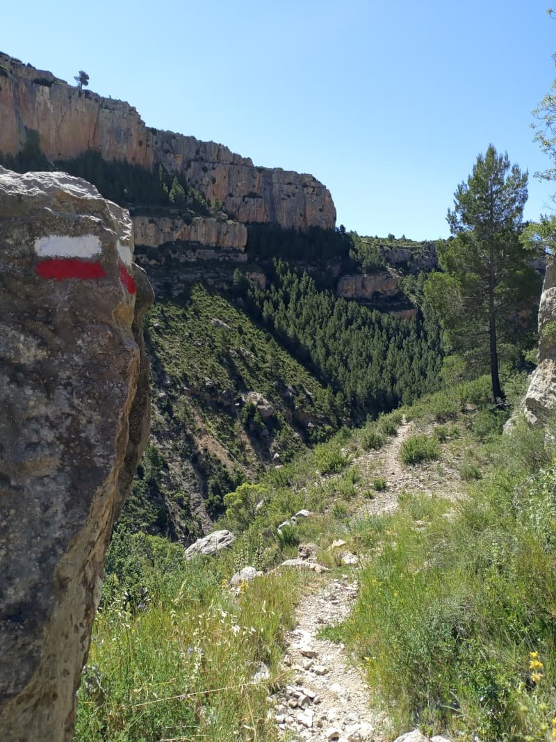
The Senda de la Escarigüela: the section that gives the route its name and is undoubtedly the most spectacular. It is an old bridle path that runs right at the foot of the imposing rocky cliffs. It’s a prime spot for wildlife viewing, as it’s very common to see the fascinating flight of vultures and eagles that nest on the cliffs. It also offers postcard-perfect views of the entire ravine and the Pico del Remedio de Chelva in the distance.
Enjoy your hike through our region!